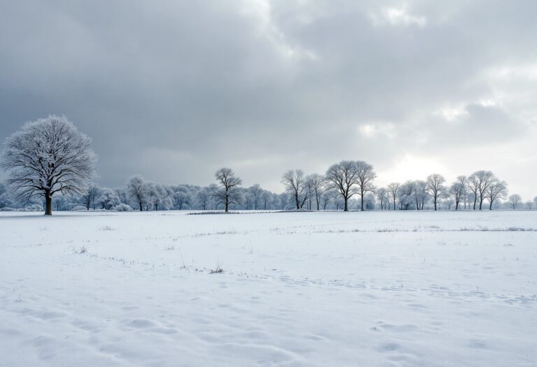
Temperatures set to plunge as snow and icy conditions sweep the nation

Topics covered
Severe cold snap on the horizon
The British Isles are bracing for a significant drop in temperatures as a two-day deep freeze is set to sweep across the region. The Met Office has issued warnings for “hill snow” and “possible icy stretches” from Monday through Wednesday, indicating that the nation will experience a wave of rather cold weather.
According to meteorological data from WXCharts, temperatures are expected to plummet to as low as -3°C in Powys, Wales, and -2°C in North Yorkshire starting tomorrow.
Snowfall predictions and affected areas
Weather maps utilizing Met Desk data reveal that almost all of England will be shaded in white, highlighting areas most susceptible to the impending cold blast.
Snow is forecasted to begin falling across Scotland and northern England from midnight on Monday, continuing into the early hours of Tuesday. In regions where snowfall is expected to be most intense, particularly in western Scotland, accumulations could reach rates of approximately 3cm per hour.
This wintry weather is anticipated to extend as far south as Manchester.
Temperature forecasts and regional impacts
By 6 AM on Monday, temperatures across the UK are predicted to hover between 0°C and -3°C, with areas north of Cardiff, including Powys, North Yorkshire, Edinburgh, and Aberdeen, likely to experience the coldest conditions. On Tuesday, temperatures are expected to ease slightly, remaining between 0°C and -1°C across England. The Met Office has cautioned that the following week will continue to be characterized by rather cold conditions, with rain in the north subsiding on Monday, but further outbreaks anticipated to reach Northern Ireland around dusk.
Long-term weather outlook
As the week progresses, clouds are expected to break in the south, allowing for some sunshine, although windy conditions will persist in the west and north as temperatures continue to dip. The outlook for the period from February 18 to February 20 indicates further rain pushing into northern and western regions, accompanied by some hill snow and possible icy stretches. Conversely, the south and east are likely to remain drier with occasional brighter spells, although breezy conditions will prevail.
Shifts in weather patterns
Looking ahead to the remainder of the month, a shift in weather patterns is anticipated, with temperatures likely to rise above average. From February 20 to March 1, the Met Office predicts that Atlantic frontal systems will spread across the UK from the west, bringing spells of rain to many areas, particularly in the west where the heaviest rainfall is expected. Some eastern regions may remain largely dry, while strong winds are likely at times, especially along coastal areas. As the month progresses, unsettled weather is expected, with periods of heavy rain and strong winds interspersed with drier, brighter intervals.


